 RideLoop
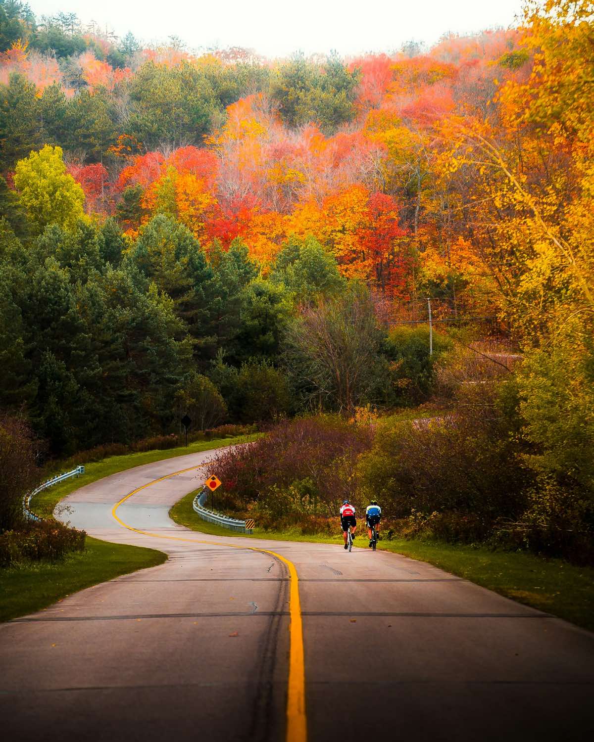
Hunterdon is the county New Jersey road riders drive to. River towns sit at the bottom of steep hills along the Delaware, and above them is a maze of farm roads where you can ride for an hour and see a handful of cars.
The catch is the roads between them. Fast county routes connect the towns, and many have no shoulder. A good Hunterdon loop crosses those roads instead of following them.
3 loops
Built by RideLoop from each town, the same way it builds yours. Every press of Build in the app makes a new one.
Califon farm roads
Out of the village and up onto the ridges: Sutton, Sawmill, Philhower and Farmersville Roads, through farms and woods. Nearly every mile is on quiet local roads.
- No state highways
- No 50 mph roads
- No four-lane roads
- Under 0.1 mi of county road without a shoulder
Oldwick horse country
Black River, Rockaway, Sawmill, Hollow Brook and Still Hollow Roads: horse farms, stone walls and woods around the old village of Oldwick in Tewksbury Township.
- No state highways
- No 50 mph roads
- No four-lane roads
Stockton river hills
Up from the Delaware into the farm country of Delaware Township on Lower Creek, Lambertville Headquarters, Dunkard Church and Sergeantsville Roads. It leaves the village on Route 29, Stockton's main street, for about a quarter mile.
- About a quarter mile on Route 29 in the village, then off it
- No 50 mph roads
- No four-lane roads
Riding in Hunterdon
Califon and the Raritan valley
Califon is a small village on the South Branch of the Raritan. The Columbia Trail, a gravel rail trail, runs through town, and the roads above it climb to quiet ridges.
Stockton and the Delaware
Stockton sits on the Delaware River, beside the Delaware and Raritan Canal towpath. Every road out of town climbs, so expect the first miles to be the hardest.
Oldwick and Tewksbury
Horse farms, stone walls and narrow roads along the Black River and its hollows. Oldwick is a small, old village and an easy place to start.
Your own loop, from your front door
- Set your start. Home, a café or a park, anywhere in the US.
- Pick a distance. RideLoop builds a loop on quiet roads and leaves out highways, 50 mph roads and four-lane roads.
- Send it to your Garmin. Or download a GPX for any other bike computer.
Start free. Ride more for less than a coffee a week.
Questions
When do the leaves peak in Hunterdon County?
Most years, mid to late October, a little later along the Delaware than on the ridges.
Is RideLoop free?
Yes, to start. Bronze is free: 2 loops a month, sent to Garmin Connect, plus GPX downloads for any device. Silver is $9.99 a month for 30 loops a month, sent straight to your Garmin in one tap. Gold is $14.99 a month at the launch price, with unlimited loops and every feature.
Which roads does RideLoop leave out?
Roads with a speed limit of 50 mph or more, roads with four or more lanes, and roads mapped as highways. County roads with no shoulder count as four times their length, so loops use them only where there is no quiet way around. Roads other riders graded rough are left out too.
Are these the only loops?
No. The loops on this page are samples RideLoop built from each town. In the app you get a new loop every time you press Build, from wherever you start.
Build your own Hunterdon County loop
Start from home or anywhere on the map, pick a distance, and send it to your Garmin.
Build my loop, freeFree plan: 2 loops a month. Compare plans